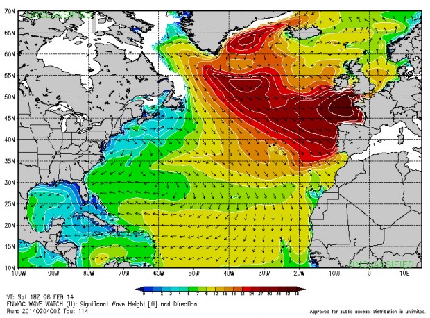
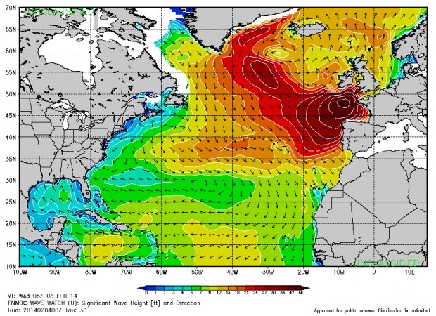
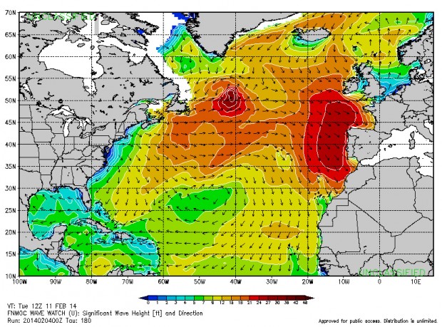
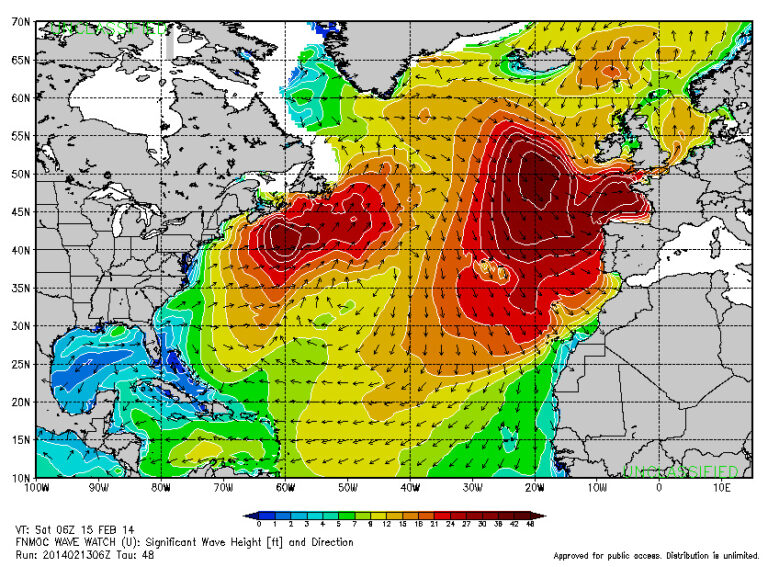
With three more purple blobs on the way today, this weekend and Tuesday of next week, the first two of which will peak at 19 seconds at 20 foot plus range, North Atlantic storm activity doesn’t look like it plans to slow much as we enter into February.
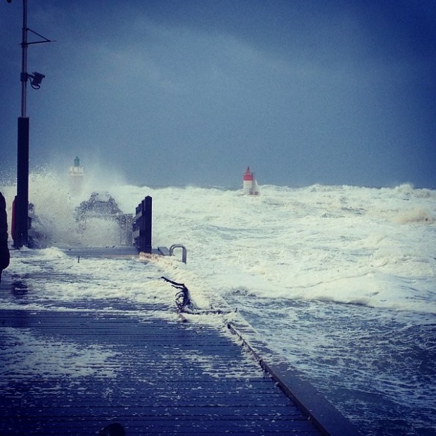
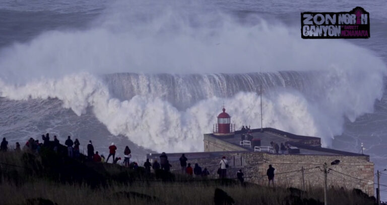
Unfortunately, as you’ll see from the charts below, more southerly storm tracks of these swells will mean they’ll once again arrive with strong to gale-force winds. In fact, the first two of these swells are so south that Ireland west coast will in fact receive little of them, the brunt of the energy mainly looking to blast the Bay of Biscay and Portugal. With south winds forecast again, heads will no doubt be turned back in the direction of Nazaré and Belharra, although news of a Spanish cargo ship running aground and snapping in two while attempting to enter port at Bayonne harbour (just north of Belharra) and all beaches being temporarily closed while the damage is assessed, might well throw a spanner in the works…
